
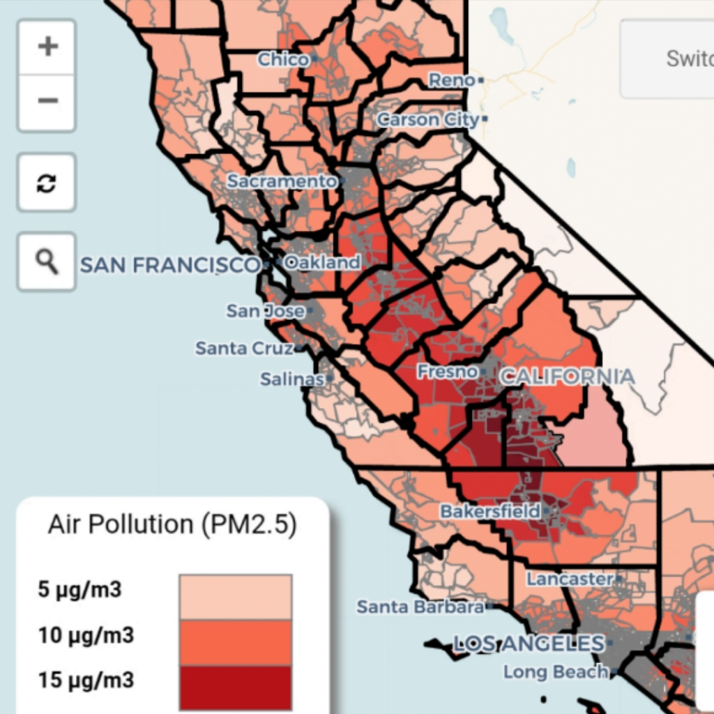
UC Berkeley shares a new interactive map they’ve created that allows you to zoom in on different regions of California to see the levels of certain particulate matter in the air revealed to increase the likelihood of dying from a COVID-19 infection. The data would suggest that the San Joaquin Valley, which includes Fresno and Bakersfield, may […]
INTERACTIVE MAP FOR COVID-19
Leave a reply