


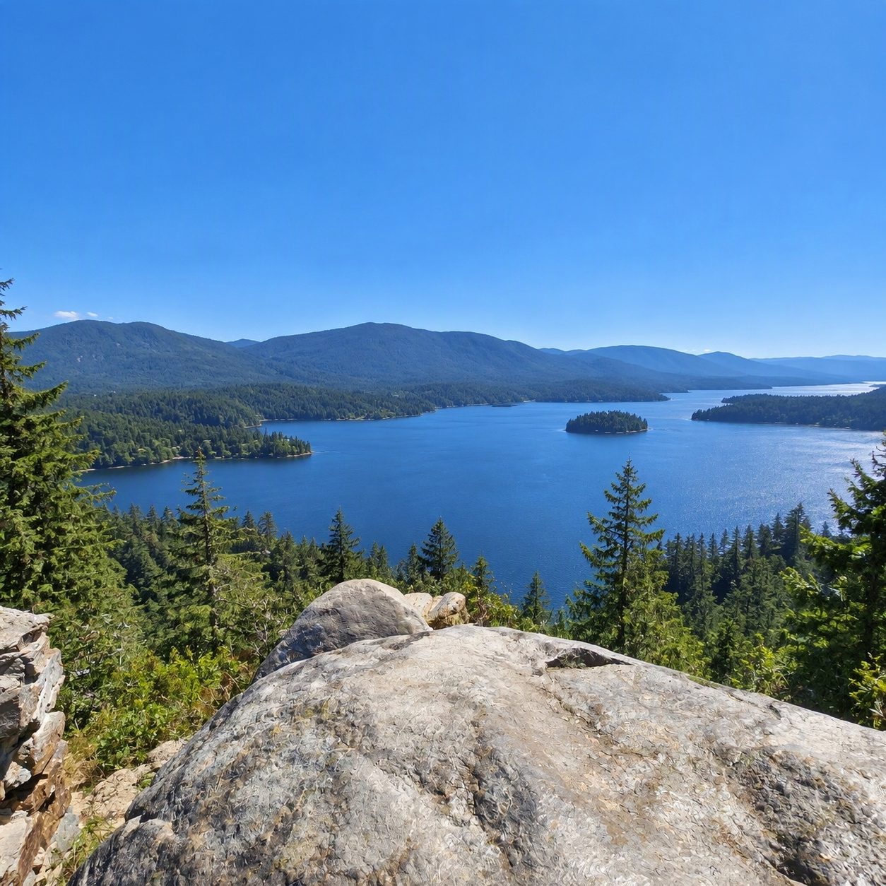
Sproat Lake runs beside Highway 4 on the way to Tofino, with a provincial park on its north shore and rock carvings at the water’s edge that are thousands of years old. Staying a few nights in one of the Sproat Lake vacation rentals puts the petroglyph trail and the park’s swimming beaches a short drive from your door.
Where is Sproat Lake, and how far from Port Alberni?
Head northwest from Port Alberni, in the middle of Vancouver Island, and the lake appears. Sources give different distances, and the gap between them is wide enough to confuse a first-time visitor.
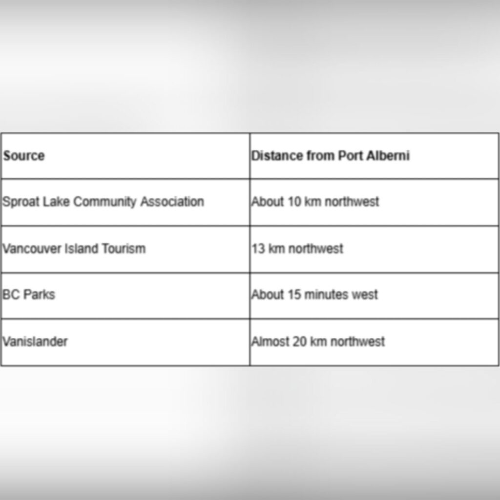
The difference mostly comes down to where each source starts and stops measuring. The lake is long, so the nearest shoreline is much closer to town than the far end. The Community Association’s figure of about 10 km is the shortest of the four. For the provincial park specifically, BC Parks’ estimate of roughly 15 minutes by car is a sensible number to plan around.
Getting there from Highway 4
Head west out of Port Alberni on Highway 4, the Pacific Rim Highway, and watch for the turnoff to Sproat Lake Provincial Park on the north shore. The highway follows the lake for a good stretch on its way to Tofino and Ucluelet. That makes the park an easy stop on a longer drive to the coast, and plenty of people treat it exactly that way.
The signage is clear, but the road curves a lot through here and the turn comes up quickly. Ease off the speed once the lake comes into view on your left.
What are the K’ak’awin petroglyphs, and how old are they?
The K’ak’awin petroglyphs are figures carved into rock at the eastern end of Sproat Lake Provincial Park, and they’re thousands of years old. They are one of the main reasons people who’d otherwise just drive past the lake decide to pull over.
Petroglyphs are images cut or pecked into stone, not painted on. That means the light changes them a lot. Low, angled sun in the morning or late afternoon brings out the grooves. At midday, under flat overcast, they can be surprisingly hard to pick out. If the first look is a bit underwhelming, give your eyes a minute and move around to a different angle.
These carvings are a cultural site, not a photo prop. Look without touching, and don’t chalk or wet the rock to make the lines show up better. Both damage the surface over time.
Parking and the walk in
Park in the day-use lot, then follow the 0.5 km trail east along the lakeshore to a small pier at the park’s east end. The petroglyphs are at that eastern end.
Half a kilometre is a short, easy walk. It suits young kids and anyone who’s been in the car since Nanaimo. The path stays close to the water, so the walk itself is part of the visit: open views down the lake and, in summer, the sound of boats.
Wear shoes with some grip. Lakeside rock and roots get slick after rain, and on this side of the island rain is never far away.
Why so little public shoreline?
Much of the waterfront around Sproat Lake is privately owned, which is why the two provincial parks matter so much for public access. Cabins and homes line long stretches of the shore, and their docks and beaches belong to the owners.
That’s useful to know before you head out with a kayak or a picnic hoping to find a quiet pullout somewhere along the highway. The parks are where you can reliably get down to the water. Plan your swimming and kayak launching around them and you’ll avoid a frustrating loop of slowing down at every gap in the trees.
Who was the lake named after?
The lake takes its name from Gilbert Malcolm Sproat, a Scottish-born man who came to Vancouver Island in 1860 to set up a sawmill. That was the start of the logging and milling economy that shaped Port Alberni for generations.
Long before that, the lake had another name. Local Indigenous people called it Kleecoot.
It’s worth keeping both names in mind as you stand in front of the K’ak’awin carvings. The settler name is barely a century and a half old. The rock art on the shore is many times older than that.
The Martin Mars water bombers
The Martin Mars were huge flying boats converted into water bombers, and they were moored right on Sproat Lake, using the lake itself as their runway. For years they were one of the most recognisable sights in the area: enormous planes sitting on the water, then scooping it up to fight forest fires.
To learn more, go to the Coulson Flying Tankers Visitor Center on Cherry Creek Road. It runs guided tours in July and August, so a summer trip is the time to fit it in. The tours cover the aircraft and the firefighting work they did. They make a good counterweight to the quiet of the petroglyph trail if you’re travelling with someone who’s more interested in engines than ancient art.
Cherry Creek Road is on the Port Alberni side of the lake. That makes it easy to pair with the park in a single half-day outing.
Is Sproat Lake worth visiting outside summer?
Yes, and not only in July. The lake has something to offer in every season, though the mood shifts a lot. Summer is for swimming off the park beaches and long evenings on the lake. July and August also bring the Martin Mars tours, which is a good reason to aim for that window if the planes are on your list.
Winter is a different trip altogether. The boats thin out and the lake goes still and grey, making the area a quiet retreat, the kind of place for reading by a window or taking short walks between showers. The petroglyph trail is just as short in January as it is in July, and with fewer people around you’ll often have the carvings to yourself.
Spring and fall land somewhere in between, with milder crowds and changeable weather that can flip from sun to drizzle in an hour.
One practical tip for any season: before leaving Port Alberni, check the weather, then time your walk to the petroglyphs for early morning or late afternoon, when the low sun will make the carved lines far easier to see.